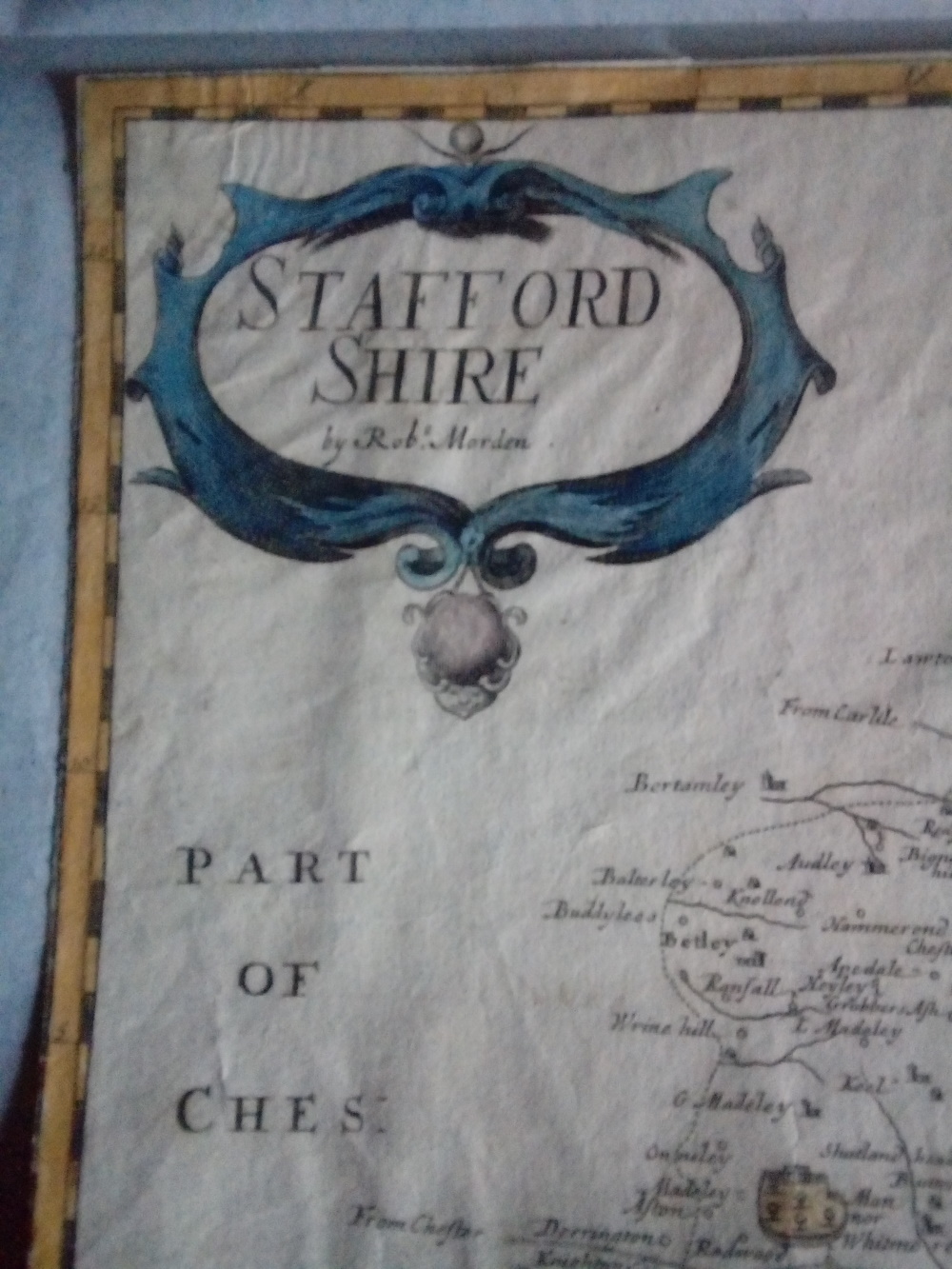
Robert Morden-original copper engraved English county maps from Camden’s Britannia, 1695 First Editions-unframed Robert Morden-original copper engraved English county maps from Camden’s Britannia, 1722 Editions-unframed
Category: Antique maps
Antique maps and charts at Redd Lyon Curios of Nonington-The Shop In The Shed
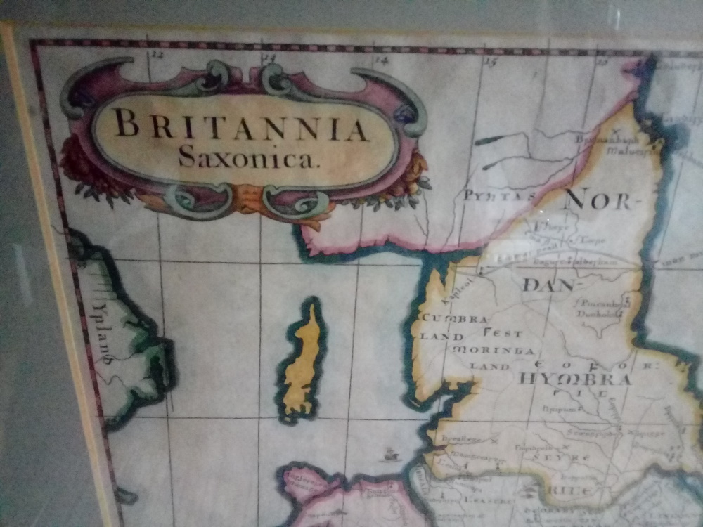
Cornwall by Robert Morden c1695. A hand coloured copper engraving used in Camden’s Britannia atlas that was first published in 1695 http://reddlyoncurios.uk/scotland-by-robert-morden-circa-1700-75-00/ http://reddlyoncurios.uk/britannia-saxonica-by-robert-morden-circa-1700-to-1720-75-00/ http://reddlyoncurios.uk/bala-ruthin-denbigh-holywell-in-wales-1753-strip-road-map-by-bowen-and-owen-15-00/ http://reddlyoncurios.uk/ireland-by-sidney-hall-london-published-by-longman-rees-orme-brown-green-paternoster-row-jany-1830/
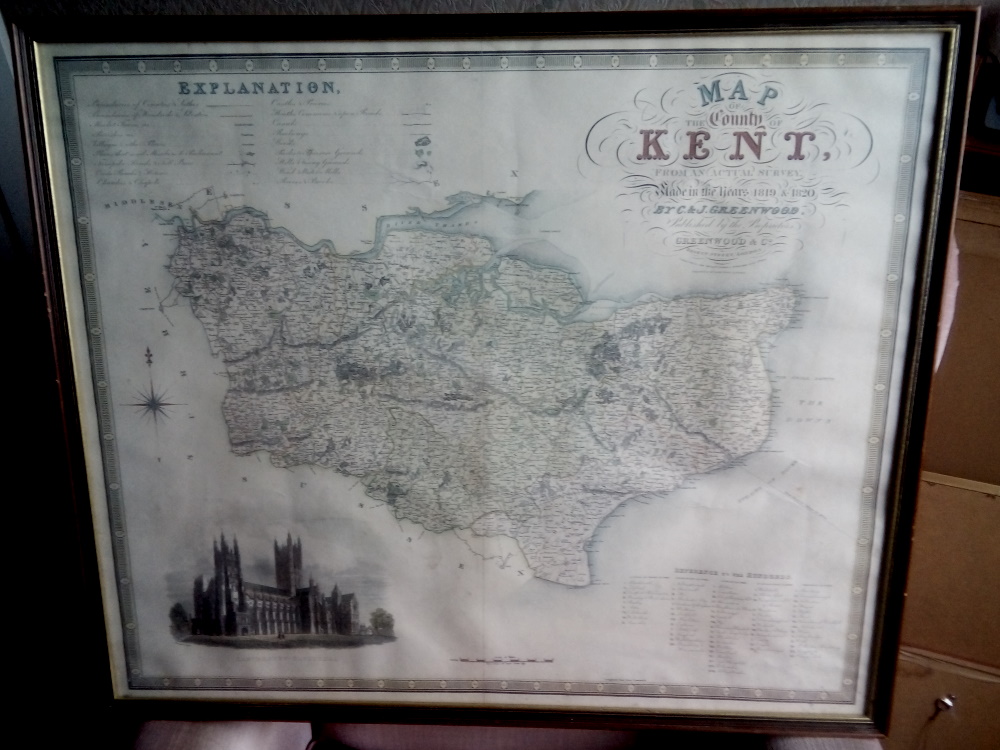
The County of Kent from Greenwood’s “Atlas Of The Counties Of England”, 1829-genuine original copy.
£125.00 This is an genuine original hand coloured map of the County of Kent with a finely engraved view of Canterbury Cathedral in the lower left corner. The map was originally published in Christopher and James Greenwood’s “Atlas Of The Counties Of England”, published in 1829. This copy has a vertical fold down its […]